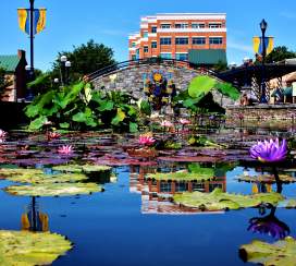
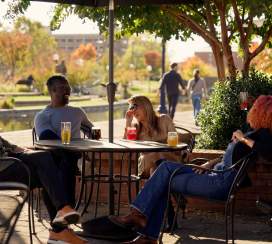
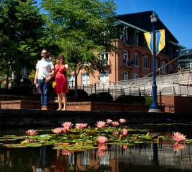
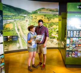
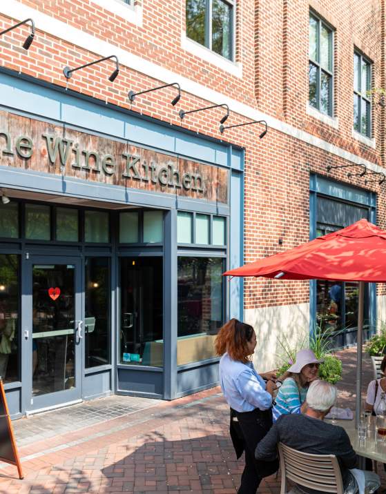
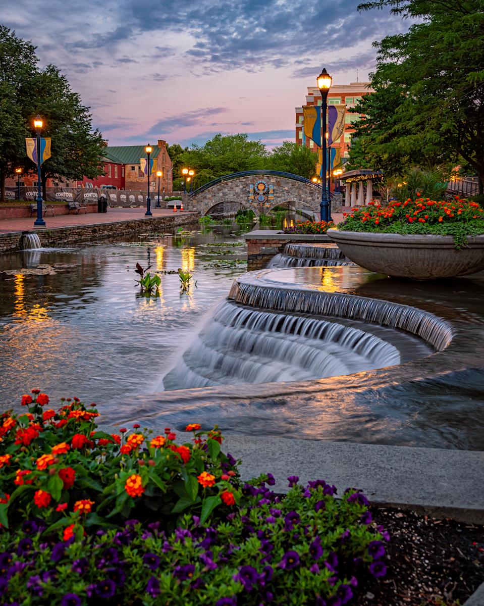
Meandering through the center of Frederick's historic district, Carroll Creek Park was designed to protect the city from flooding that has periodically wreaked havoc here. Today, the park serves as a central meeting place and visitor favorite, a nearly mile-long promenade that is accented by beautiful public art, decorative boats (winter), and tropical blooming water plants (summer).
Learn more about the history and background behind Frederick's unique and beloved Carroll Creek Park.
Some Background
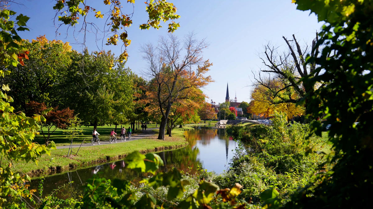
An 8.3 mile-long (13.4 km) tributary of the Monocacy River, Carroll Creek’s headwaters are located on the eastern slope of Catoctin Mountain. The Shawnee Indians called the creek Walkwaki Methtegui which translates as “down in the gully creek."
The contemporary creek is named after Charles Carroll of Carrollton, a signer of the Declaration of Independence, who owned large amounts of land in Frederick County. After buying a section of land that had initially been given to Benjamin Tasker by Lord Baltimore in 1727, Daniel Dulany planned out Fredericktown along the banks of Carroll Creek in 1745.
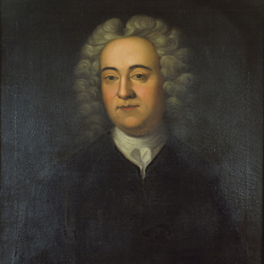 Daniel Dulany
Fredericktown was established to be the regional market town with Carroll Creek powering mills (especially flour and grist mills). There was one major problem with locating a town along the banks of the creek…the floods.
What do we do about the floods?
Throughout the centuries, Carroll Creek occasionally flooded and inundated shops and homes in Frederick. The worst floods in recorded history were on July 24, 1868 and October 8-9, 1976 (7.26” of rain).
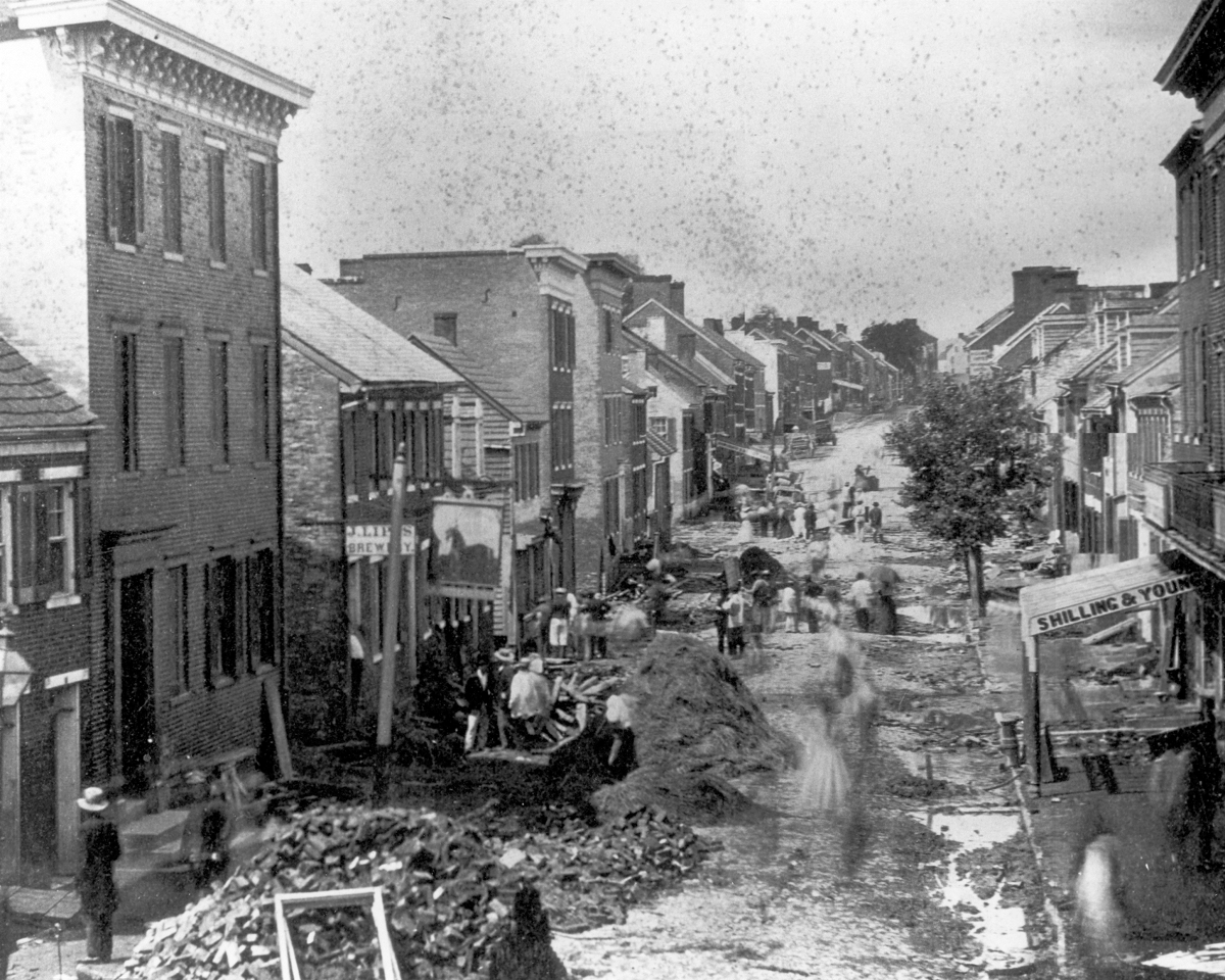 Aftermath of the 1868 flood on West Patrick Street in Downtown Frederick
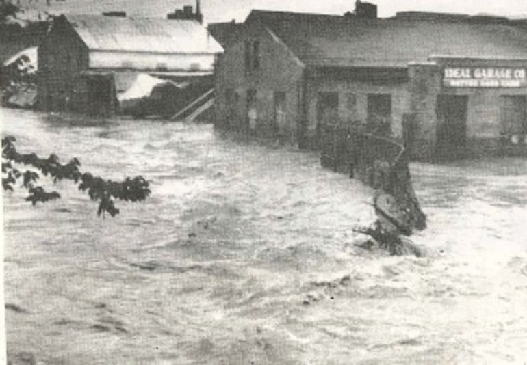 Photograph showing Carroll Creek flooding in 1976. The Ideal Garage Building photograph is now home to McClintock Distilling Company.
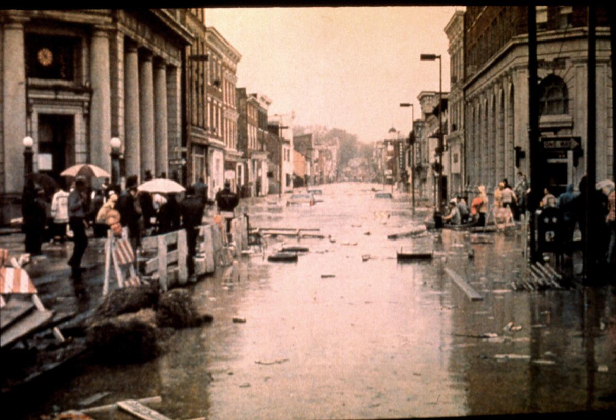 Photograph of the 1976 Carroll Creek Flood taken at the intersection of Market and Patrick Streets looking south.
After the 1976 flood, City Mayor Ron Young worked with engineers to solve the recurring flooding problem. The resulting $60 million project involved the building of four 20x20 foot conduits, each capable of carrying 1.4 million cubic feet of the creek’s water.
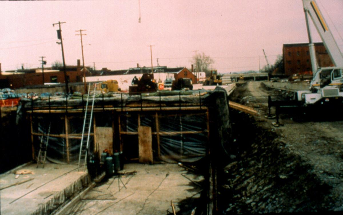 Carroll Creek flood control project under construction.
On top of the conduits, a small portion of the creek water flows slowly above the creek’s original creek bed. During flooding events, any surplus water backs up into and is temporarily held in Baker Park (which can hold 580,000 cubic feet of water). Construction of this novel infrastructure was started in 1985 and completed in 1993.
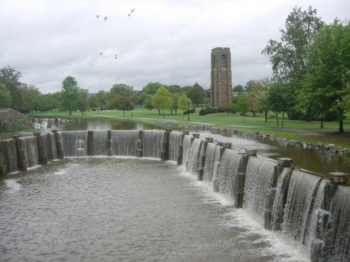 This structure at the eastern end of Baker Park is an important piece of the flood control system, but also a feature of the park adjacent to the city's famed Carillon.
“Is it a canal? Is it a river? No, it’s a creek!”
Making Carroll Creek Park Beautiful
Though the creek flooding problem was solved, the original flood control project included an unappealing concrete walkway. The city came up with a plan to convert the concrete desert into a beautiful promenade called Carroll Creek Linear Park. The park was developed in two phases over several decades.
Phase 1 (beautifying Court Street to Carroll Street) was started in 2005 and finished in 2006 at a cost of $10.6 million. Phase 2 (Carroll Street to E. Patrick Street) was started and completed in 2016 and cost $15.8 million. Developing Carroll Creek Park continues today - Phase 3 (E. Patrick Street to Highland Street) will completed in the future.
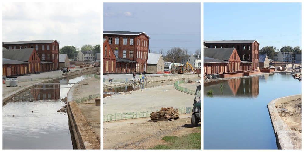 Photographs from 2015 showing the redevelopment of Carroll Creek Park east of East Street. This area is now home to four breweries, an event venue, and numerous public art pieces
Today, Carroll Creek Park stretches for 0.85 miles or 1.37 km through the heart of our historic city and has been transformed from an innovative flood control project into one of Frederick County's most beautiful and visited parks.
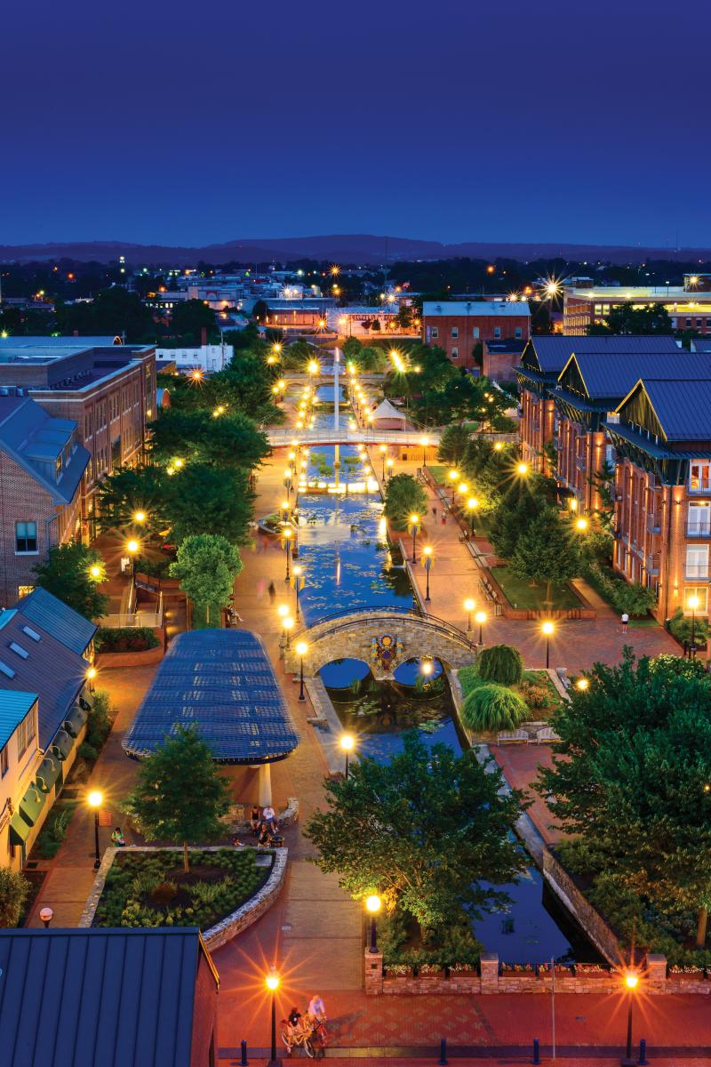
How to Experience Carroll Creek Park
Carroll Creek Park
Learn more about the events, happenings, and fun happening on Carroll Creek Park.
Carroll Creek Brewing District
Explore the Carroll Creek Brewing District
Carroll Creek Park Tour
Created as a flood control project, the mile and a half long stretch includes pedestrian paths, water features, an…

